In the world of organic horticulture, a map is far more than a simple drawing of a field, it is a foundational legal and operational document. Whether you are a long-standing organic producer, a grower navigating the transition period, or managing a mixed operation with both organic and conventional plots, boundary mapping is the primary tool used to safeguard the integrity of your crops. This use case article will highlight the importance of boundary and buffer zone mapping and how our users do this in Croptracker today using the Field Map.
Growing area boundary mapping terms
Below we have defined some terms used in this article related to mapping for spray boundary compliance.
- Certified Organic
- A labelling term and certification process for produce grown under strictly regulated methods that do not allow synthetic pesticide or fertilizer applications and prohibit the use of GMO seeds. Certified operations undergo lengthy and strict certification processes in order to use the certified organic labelling. In North America, the USDA Organic and Canadian Organic Standards are considered equivalent.
- Conventional
- Refers to standard growing practices that allows the use of government-approved synthetic fertilizers, herbicides, and insecticides. Spraying is regulated by product labels that specify application rates, safety equipment, and Pre-Harvest Intervals (PHI) to ensure food safety.
- Transitional
- The mandatory period (typically 36 months) during which a farm switches from conventional to organic practices. During this time, no prohibited substances may be applied to the land, but the resulting crops still cannot be sold as Certified Organic until the period is complete.
- Buffer Zone
- A designated "no-spray" area between the application site and a sensitive boundary, such as a water body or an organic field. Its purpose is to mitigate spray drift and prevent unintended chemical contact with non-target areas.
- Riparian Buffer Zone
- Areas that are specifically marked “no-spray” made up of native trees, shrubs or grasses to protect nearby streams, ponds and wetlands and prevent water table contamination.
- Commingling
- The physical contact or mixing of organic produce with non-organic produce or prohibited substances. Regulations require growers with certified organic and conventional produce to have strict physical barriers and handling procedures to prevent this and maintain organic integrity.
- Residue Test
- A laboratory analysis used to detect and quantify the amount of agricultural chemicals (pesticides, fungicides, etc.) remaining on a crop. For organic produce, there should be no residue and for conventional operations this ensures the produce stays below the Maximum Residue Limit (MRL) set by health regulators.
- Biosecure
- A set of management practices designed to prevent the introduction or spread of harmful biological agents, such as invasive weeds, pests, or diseases. In a spraying context, this often involves cleaning equipment to ensure no pathogens or prohibited chemicals are transported between different fields.
Buffer zones for all growers
All agriculture spraying requires consideration of spray drift and proper buffer zone use. Conventional growers must also identify and establish buffer zones around water ways, neighboring properties and roadways. Many growers will rely on riparian buffer zones to clearly mark no spray areas and protect waterways. In organic growing operations, boundary mapping further identifies buffer zones between conventional and organic growing areas on the farm. Mapping these areas is a required step in establishing and maintaining certified organic status.

Organic system plans: certification, site selection and transitional areas
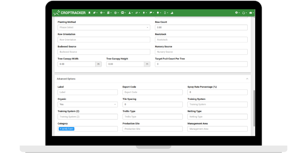
A first step in organic certification processes is to create an Organic System Plan (OSP) that is approved by the certification body you are working with. For choosing sites for new organic plantings or to transition a conventional area, it is vital to carefully consider the soil composition, micro climate characteristics, and pest and disease pressure. As organic growers cannot rely on insecticides and pesticides when issues arise, choosing areas that naturally support plant health is essential. In Croptracker, growers use the Extended and Advanced plantings details to note information like soil composition. The Location Category field can be populated with the soil types more relevant to your own farm.
Within an OSP, mapped buffer zones to protect organic growing areas will be included. These maps help document hedgerows, windbreaks, permanent sod strips or transitional growing areas that act as physical filters. Permanent crop growers transitioning to organic may choose to establish buffer zones that are still fruit producing areas, but are a no spray zone between the organic and conventional plants. The fruit grown in the transition zone can still be harvested, but cannot be sold under the certified organic label.
For farms moving from conventional to organic status, the growing area maps and treatment records serve as a chronological record of progress. Growers cannot transition the entire farm at once. Mapping allows you to track exactly which parcels are in "Year 1," "Year 2," or "Year 3" of transition, ensuring no inorganic treatments have been applied to these areas. Certification bodies require these maps to ensure that no prohibited substances are applied to specific plots after their "start date," preventing the clock from resetting on the entire operation.
According to the Ontario government organic growing resource pages “Most farmers don’t convert their entire operation simultaneously. Instead, they transition field by field, creating a patchwork of organic and conventional areas. This approach spreads financial risk and allows farmers to gain experience with organic methods on a smaller scale before committing completely.”

Mixed conventional and organic operations
Operating a mixed growing method farm that grows both organic and conventional produce presents the highest level of scrutiny during inspections. Boundary mapping is the first line of defense against commingling. Maps must show distinct, permanent boundaries that prevent accidental harvest of conventional produce as organic. In Croptracker, all harvested inventory is linked back to the growing area and all its history, providing an auditable trail to prove organic status.
In the event of a residue test a high-resolution boundary map is your best evidence for traceability. It connects the physical land to the seed records, input logs, and harvest yields. For high-value vegetable crops, maps integrated with GPS help ensure that automated weeding or spraying systems strictly adhere to organic boundaries, removing the risk of human error. Boundary mapping is not just about geography; it is about creating a biosecure perimeter that protects the premium value of organic certification and ensures consumer trust in fresh produce.
Croptracker’s role in organic spray compliance
Beyond mapping, Croptracker’s Spray module has chemical inventory features that help organic growers ensure only organic fertilizers and pest control measures are used on certified organic areas and no-spray transitional or buffer zone areas. When managing your chemical inventory you can assign an organic flag on a treatment which will allow it to be selected in Spray events. Any chemicals that are not specifically marked as organic will create a warning on the app when they are applied against growing areas that are marked organic.
The financial premiums of organic specialty crops offer a significant opportunity for growers, but these rewards are only realized through meticulous planning and ongoing management. Maintaining the integrity of an organic operation requires more than just avoiding prohibited substances; it demands a rigorous, data-driven approach to land use. Without precise mapping and transparent record-keeping, the risk of commingling or spray drift can threaten an entire season’s certification and market value.
Choosing the right tools for mapping and spray tracking is an essential part of this process, turning a complex regulatory burden into a streamlined operational advantage. By leveraging integrated systems like Croptracker, growers can confidently navigate transition periods, manage mixed operations, and provide the bulletproof traceability required by inspectors. Ultimately, robust boundary mapping doesn't just protect your crops—it protects the long-term profitability and reputation of your farm.